 Photo: A K / Pexels
Ōtāhuhu · Ōtāhuhu
Otahuhu lies on the narrowest part of the Auckland isthmus, where the Te To Waka portage once let Maori drag their canoes the short distance between the Manukau and Waitemata harbours, the shortest such crossing in the area. Named for the ancestor Tahuhu of Ngai Tahuhu and overlooked by the cone of Otahuhu, or Mount Richmond, it became an early colonial and military settlement and later one of Auckland's industrial centres. Today it is a busy, strongly multicultural suburb with a lively main-street shopping centre and a major rail and bus interchange linking the south to the city.
The directory
Cafés & Eating
See all →
Indian Sweets & Snacks Limited

Auckland Indian Sweets & Snacks Limited
Samwoo Vietnamese Cafe

DECOR CAKES
Kokodak NZ
Khana Khazana
Trades & Services
See all →
Relionus Mobility Services

EQUANS NZ Limited

3A

Stately Plumbing Limited

3A

Green Rentals Limited
Makers & Studios
See all →
Huhtamaki New Zealand

Express Sheetmetals NZ
ABC Medical
Circle Line Engineering Ltd

Kerry Ingredients (Nz) Limited

TE Group
Food & Producers
See all →
The Pure Food Co Ltd

Dals Pollination
Chan Kee
Db Breweries Limited
Grassland Meat
Super City Halal Meats NZ
Health & Beauty
See all →
Elite Thai Kickboxing

The Tree Surgeon CO

Papatoetoe Dental Care Limited

Otahuhu Chiropractic
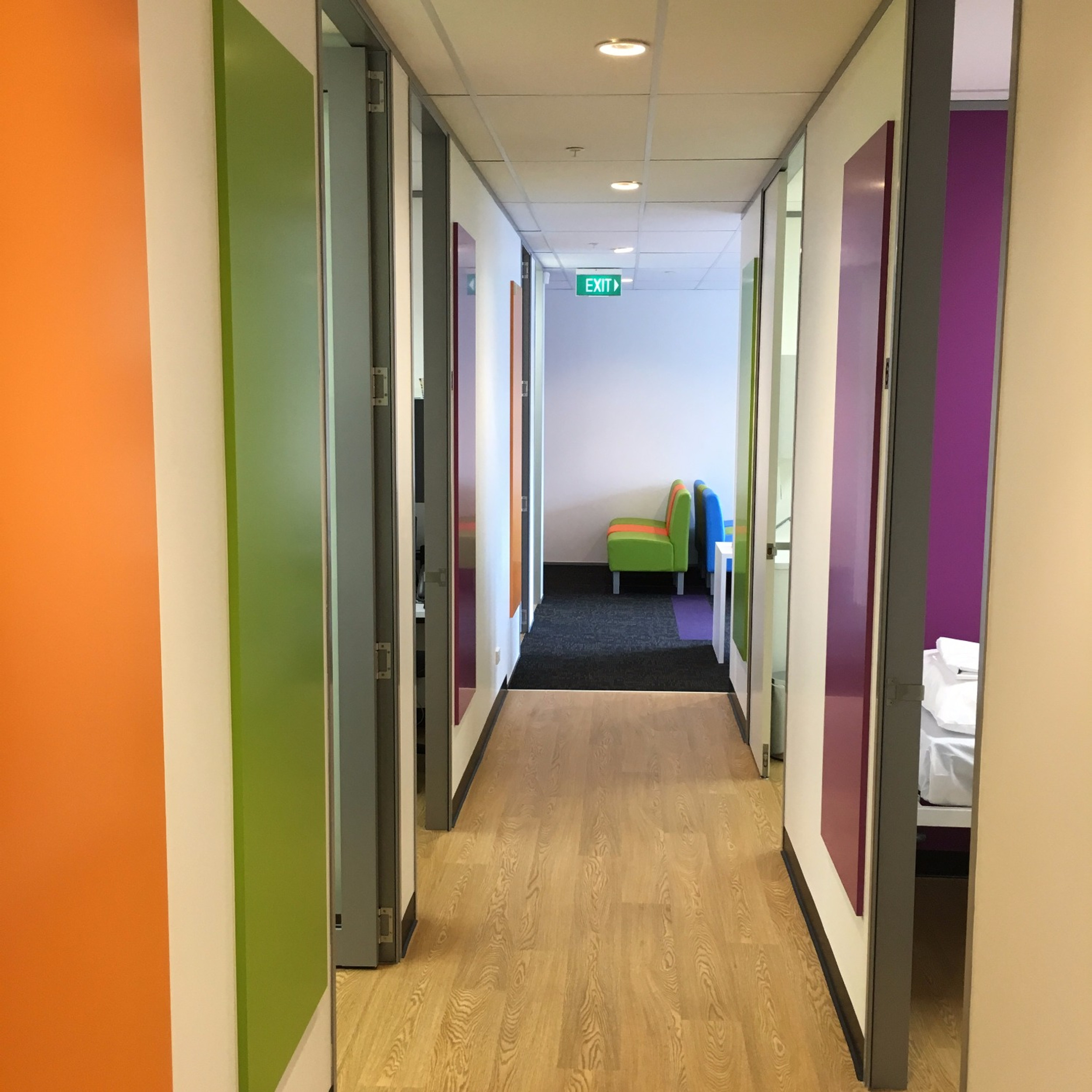
Maxcare Medical Centre Limited
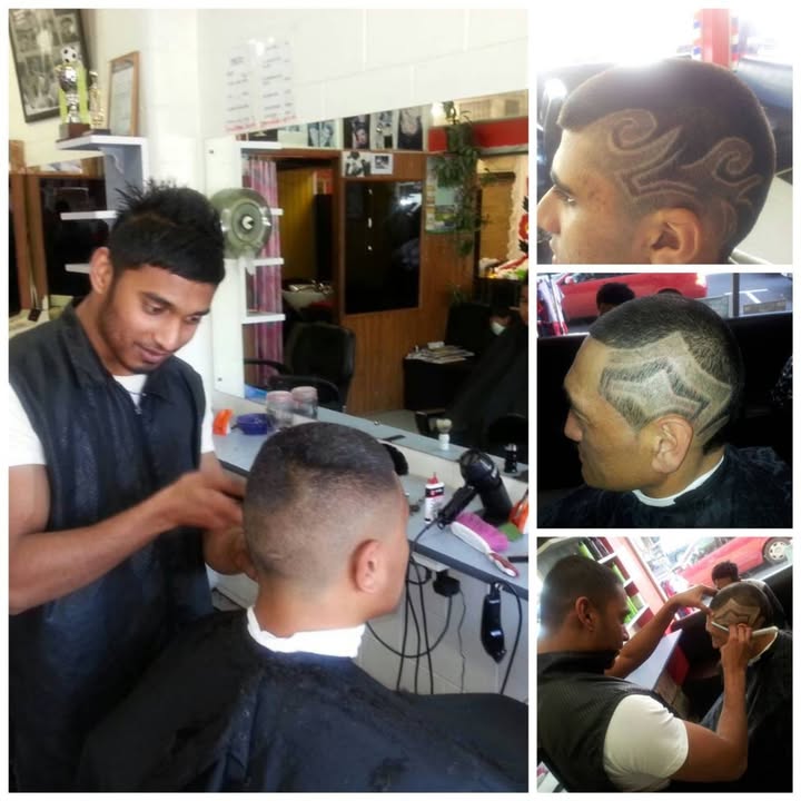
Chettys Pacificfade Barbers Limited
Accommodation & Stays
See all →Pacific Development
Maran Ventures Limited
Mmotel
Cavendish Developments
Oceanic Lodge
Cunningham Property Management
Retail & Shops
See all →



Activities & Tourism
See all →CodeCrush Creative
Upashana Travel Experts
Filipino Film Festival New Zealand
Chase and Gather
New Zealand Cultural Trust Limited
Shimi Stylez & Decorate
Professional Services
See all →
Successmasters Limited

Sinisa Law Limited

Affirming Works

Portage Law
Auckland Funerals And Memorials Limited

Timber Tops
Web, SEO & Marketing
See all →
Art Ache

Upthink Global Technologies Limited

Screen Grab Ltd
Computers For Less
Butterflyray
Nexus Labs Pacific
Automotive
See all →





Education & Training
See all →
Oceania Career Academy Limited
Tava'esina Educational Services Limited
Pif-ne14
Play & Learn Childcare
Little Ants
Fine Learning
Ōtāhuhu questions
What is Ōtāhuhu known for?
Otahuhu lies on the narrowest part of the Auckland isthmus, where the Te To Waka portage once let Maori drag their canoes the short distance between the Manukau and Waitemata harbours, the shortest such crossing in the area. Named for the ancestor Tahuhu of Ngai Tahuhu and overlooked by the cone of Otahuhu, or Mount Richmond, it became an early colonial and military settlement and later one of Auckland's industrial centres. Today it is a busy, strongly multicultural suburb with a lively main-street shopping centre and a major rail and bus interchange linking the south to the city.
What region is Ōtāhuhu in?
Ōtāhuhu is in the Auckland region of New Zealand.
What is the population of Ōtāhuhu?
Ōtāhuhu has an estimated population of around 13,000 (Stats NZ estimate).
Your page is here. Make it say the right things.
Every NZBN-registered business already has a page on List-It. Right now yours carries only what the register says. Claim it free, add what you do, where you work and when you are open, and ChatGPT, Claude, Gemini and Google get a verified source to check you against.